Parish church [8]
Introduction
The photograph on this page of Parish church [8] by Michael Dibb as part of the Geograph project.
The Geograph project started in 2005 with the aim of publishing, organising and preserving representative images for every square kilometre of Great Britain, Ireland and the Isle of Man.

There are currently over 7.5m images from over 14,400 individuals and you can help contribute to the project by visiting https://www.geograph.org.uk
Parish church [8]
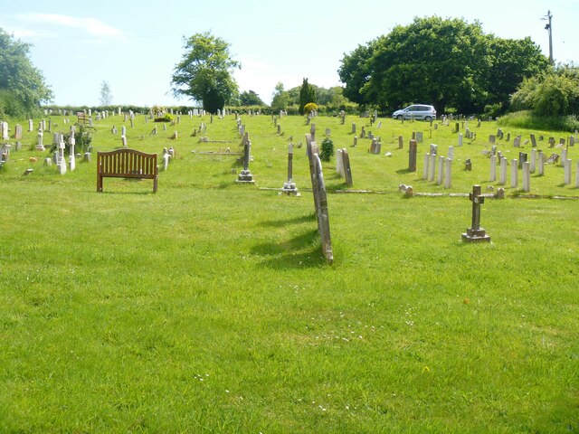
Image: © Michael Dibb Taken: 31 May 2022
Part of the large churchyard. The Anglican parish church of The Holy Rood was built, nave only, in the 13th century, the chancel, north arcade and tower were added circa 1450. In 1865 the church was demolished except for the tower and north and east walls of the nave, and rebuilt. Constructed of rubble stone with free stone dressings under roofs of tile or of lead. The font is 15th century, other internal fittings are 19th century. Listed, grade II*, with details at: https://historicengland.org.uk/listing/the-list/list-entry/1120365 Wool is a large village in Dorset, midway between Dorchester and Poole, both about 10 miles distant. Set on the south bank of the River Frome, the village includes Bovington Camp army base to the north. The place-name 'Wool' is first recorded in Anglo-Saxon Writs in the first years of the 11th century. The ruins of Bindon Abbey are nearby, demolished in 1539, the stone was used to build castles in Portland, Lulworth and Sandsfoot.
Images are licensed for reuse under creativecommons.org/licenses/by-sa/2.0
Image Location
Latitude
50.677147
Longitude
-2.217617