Path at Cullaloe Reservoir
Introduction
The photograph on this page of Path at Cullaloe Reservoir by Bill Kasman as part of the Geograph project.
The Geograph project started in 2005 with the aim of publishing, organising and preserving representative images for every square kilometre of Great Britain, Ireland and the Isle of Man.

There are currently over 7.5m images from over 14,400 individuals and you can help contribute to the project by visiting https://www.geograph.org.uk
Path at Cullaloe Reservoir
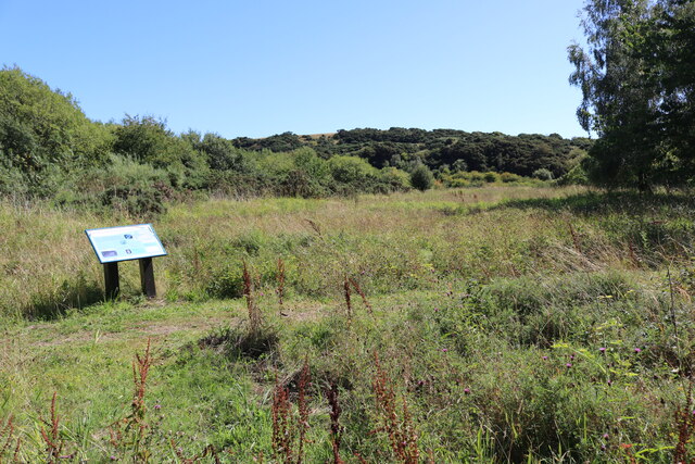
Image: © Bill Kasman Taken: 17 Aug 2022
The faint grassy path just to the right of centre image leads to the bench seat in this image Image The trees to the left mark the position of the original dam wall when Cullaloe was a public water supply for the town of Burntisland. See main article https://www.geograph.org.uk/article/Cullaloe-Forest-and-Cullaloe-Reservoir
Images are licensed for reuse under creativecommons.org/licenses/by-sa/2.0
Image Location
Latitude
56.071572
Longitude
-3.309164