A1237 bridge
Introduction
The photograph on this page of A1237 bridge by DS Pugh as part of the Geograph project.
The Geograph project started in 2005 with the aim of publishing, organising and preserving representative images for every square kilometre of Great Britain, Ireland and the Isle of Man.

There are currently over 7.5m images from over 14,400 individuals and you can help contribute to the project by visiting https://www.geograph.org.uk
A1237 bridge
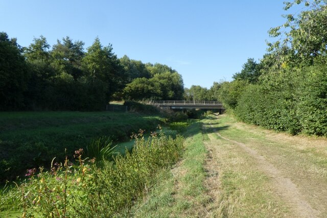
Image: © DS Pugh Taken: 13 Aug 2022
The River Foss has a very low water level following a prolonged dry period. The bridge ahead carries the York outer ring-road over the river.
Images are licensed for reuse under creativecommons.org/licenses/by-sa/2.0
Image Location
Latitude
54.004533
Longitude
-1.059519