Lanes, Radnage
Introduction
The photograph on this page of Lanes, Radnage by Robin Webster as part of the Geograph project.
The Geograph project started in 2005 with the aim of publishing, organising and preserving representative images for every square kilometre of Great Britain, Ireland and the Isle of Man.

There are currently over 7.5m images from over 14,400 individuals and you can help contribute to the project by visiting https://www.geograph.org.uk
Lanes, Radnage
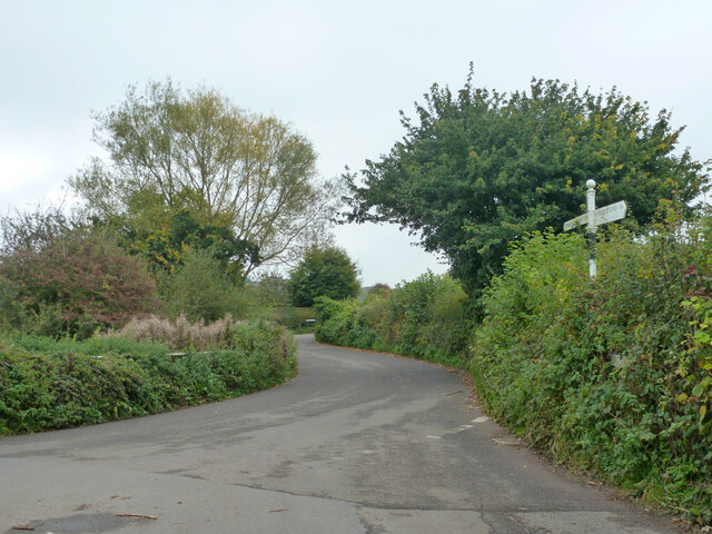
Image: © Robin Webster Taken: 18 Oct 2015
By Cross Lane Pond, over the railing to the left and rather overgrown. There is no Cross Lane, the name refers to the staggered meeting of four lanes, this is looking from one Tee junction to the other.
Images are licensed for reuse under creativecommons.org/licenses/by-sa/2.0
Image Location
Latitude
51.6695
Longitude
-0.862089