Bennett End Farm, Radnage
Introduction
The photograph on this page of Bennett End Farm, Radnage by Robin Webster as part of the Geograph project.
The Geograph project started in 2005 with the aim of publishing, organising and preserving representative images for every square kilometre of Great Britain, Ireland and the Isle of Man.

There are currently over 7.5m images from over 14,400 individuals and you can help contribute to the project by visiting https://www.geograph.org.uk
Bennett End Farm, Radnage
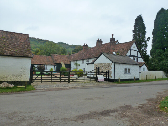
Image: © Robin Webster Taken: 18 Oct 2015
The house is a grade II listed building, oldest parts 17th century.
Images are licensed for reuse under creativecommons.org/licenses/by-sa/2.0
Image Location
Latitude
51.667595
Longitude
-0.869656