Course of Shrewsbury Canal
Introduction
The photograph on this page of Course of Shrewsbury Canal by Trevor Littlewood as part of the Geograph project.
The Geograph project started in 2005 with the aim of publishing, organising and preserving representative images for every square kilometre of Great Britain, Ireland and the Isle of Man.

There are currently over 7.5m images from over 14,400 individuals and you can help contribute to the project by visiting https://www.geograph.org.uk
Course of Shrewsbury Canal
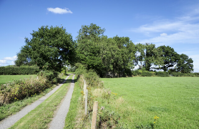
Image: © Trevor Littlewood Taken: 4 Aug 2022
The road gives access to a house, but in the field on the right side of the hedge running parallel to it is the route once followed by the Shrewsbury Canal. Evidence of the canal in the field has been eradicated but at the top of the field in the shadow of trees a bridge can be detected which carries a minor public road over the old canal. North of that bridge the canal's route is clear but it's badly overgrown and choked with vegetation. The road as it crosses that bridge can be seen here - https://www.geograph.org.uk/photo/7256002 , and the still existing canal route just to the north-east, here - https://www.geograph.org.uk/photo/7054242 .
Images are licensed for reuse under creativecommons.org/licenses/by-sa/2.0
Image Location
Latitude
52.797103
Longitude
-2.322532