Little Meadow
Introduction
The photograph on this page of Little Meadow by Simon Carey as part of the Geograph project.
The Geograph project started in 2005 with the aim of publishing, organising and preserving representative images for every square kilometre of Great Britain, Ireland and the Isle of Man.

There are currently over 7.5m images from over 14,400 individuals and you can help contribute to the project by visiting https://www.geograph.org.uk
Little Meadow
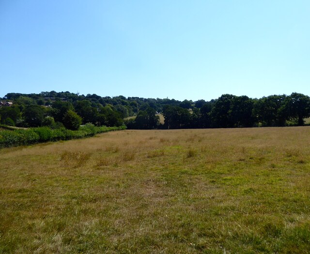
Image: © Simon Carey Taken: 13 Aug 2022
The name of the field according to Battle's 1859 tithe map bounded by Beech Farm Lane to the north. Caldbec Hill is in the distance.
Images are licensed for reuse under creativecommons.org/licenses/by-sa/2.0
Image Location
Latitude
50.926382
Longitude
0.475073