Mogg's Field
Introduction
The photograph on this page of Mogg's Field by Simon Carey as part of the Geograph project.
The Geograph project started in 2005 with the aim of publishing, organising and preserving representative images for every square kilometre of Great Britain, Ireland and the Isle of Man.

There are currently over 7.5m images from over 14,400 individuals and you can help contribute to the project by visiting https://www.geograph.org.uk
Mogg's Field
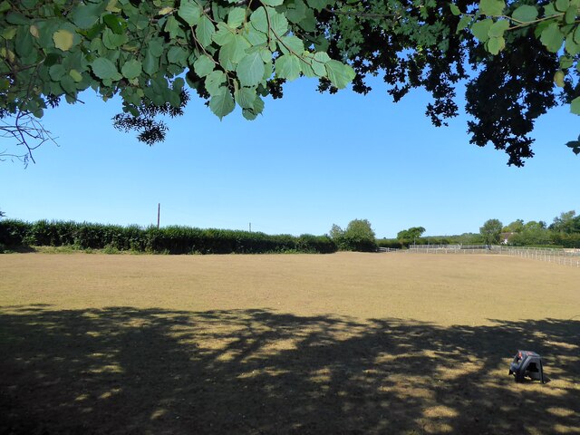
Image: © Simon Carey Taken: 13 Aug 2022
The name of the field according to Battle's 1859 tithe map bounded by Kane Hithe Road, the B2096, to the west, Reeves Wood to the north and east, and the old coach road to Ashburnham Place to the south.
Images are licensed for reuse under creativecommons.org/licenses/by-sa/2.0
Image Location


Leaflet Map data © OpenStreetMap
Latitude
50.921151
Longitude
0.44591