Cock Marling from Pewis Marsh
Introduction
The photograph on this page of Cock Marling from Pewis Marsh by David M Clark as part of the Geograph project.
The Geograph project started in 2005 with the aim of publishing, organising and preserving representative images for every square kilometre of Great Britain, Ireland and the Isle of Man.

There are currently over 7.5m images from over 14,400 individuals and you can help contribute to the project by visiting https://www.geograph.org.uk
Cock Marling from Pewis Marsh
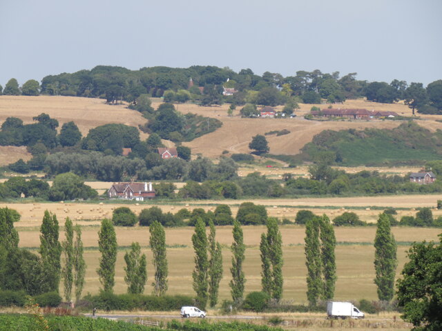
Image: © David M Clark Taken: 8 Aug 2022
View on the 1066 Country Walk from National Trust land on Pewis Marsh across the A259 and Brede valley to the hamlet of Cock Marling - it isn't always this parched!
Images are licensed for reuse under creativecommons.org/licenses/by-sa/2.0
Image Location


Leaflet Map data © OpenStreetMap
Latitude
50.920419
Longitude
0.699439