Confluence between Arrowe Brook and Greasby Brook.
Introduction
The photograph on this page of Confluence between Arrowe Brook and Greasby Brook. by David Quinn as part of the Geograph project.
The Geograph project started in 2005 with the aim of publishing, organising and preserving representative images for every square kilometre of Great Britain, Ireland and the Isle of Man.

There are currently over 7.5m images from over 14,400 individuals and you can help contribute to the project by visiting https://www.geograph.org.uk
Confluence between Arrowe Brook and Greasby Brook.
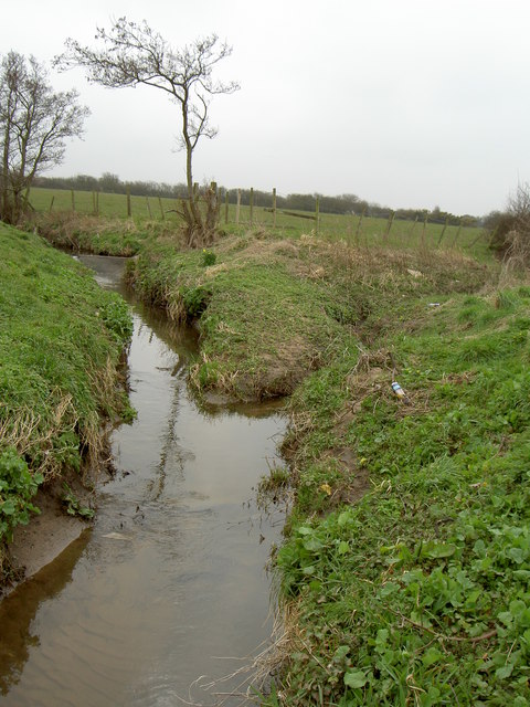
Image: © David Quinn Taken: 15 Mar 2008
Arrowe Brook is on the left and Greasby Brook on the right.
Images are licensed for reuse under creativecommons.org/licenses/by-sa/2.0
Image Location


Leaflet Map data © OpenStreetMap
Latitude
53.386233
Longitude
-3.125043