Benchmark, Askham Hall Gate
Introduction
The photograph on this page of Benchmark, Askham Hall Gate by Adrian Taylor as part of the Geograph project.
The Geograph project started in 2005 with the aim of publishing, organising and preserving representative images for every square kilometre of Great Britain, Ireland and the Isle of Man.

There are currently over 7.5m images from over 14,400 individuals and you can help contribute to the project by visiting https://www.geograph.org.uk
Benchmark, Askham Hall Gate
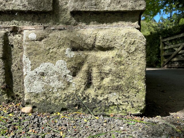
Image: © Adrian Taylor Taken: 18 May 2022
Detail of the Ordnance Survey cut benchmark on the south face of the western gatepost of the carriage drive entrance to Askham Hall. The benchmark is not listed on the Ordnance Survey Database, but is shown as marking a height of 604.4ft above sea level (Ordnance Datum Liverpool) on the 1915 edition of the Ordnance Survey map (location photograph Image).
Images are licensed for reuse under creativecommons.org/licenses/by-sa/2.0
Image Location
Latitude
54.60734
Longitude
-2.750652