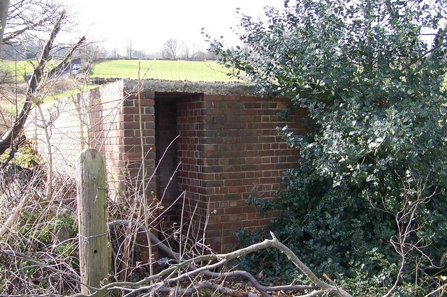
Air Raid Shelter just off Stockarth Lane
Introduction
The photograph on this page of Air Raid Shelter just off Stockarth Lane by Terry Robinson as part of the Geograph project.
The Geograph project started in 2005 with the aim of publishing, organising and preserving representative images for every square kilometre of Great Britain, Ireland and the Isle of Man.
There are currently over 7.5m images from over 14,400 individuals and you can help contribute to the project by visiting https://www.geograph.org.uk

Image: © Terry Robinson Taken: 14 Mar 2008
Although 'abandoned' this shelter is in fair condition, including some inner walls visible from the entrance (but not in the picture). Probably used for shelter by farm workers working in fields. Stockarth Lane is not far from where the South Yorkshire Asylum (latterly Middlewood Hospital) was located, so the shelter may be associated with that, as many wounded soldiers were billeted there during WW2. A second shelter in Stockarth Lane is also featured, see Image

