Fire damage on Bostall Heath
Introduction
The photograph on this page of Fire damage on Bostall Heath by Marathon as part of the Geograph project.
The Geograph project started in 2005 with the aim of publishing, organising and preserving representative images for every square kilometre of Great Britain, Ireland and the Isle of Man.

There are currently over 7.5m images from over 14,400 individuals and you can help contribute to the project by visiting https://www.geograph.org.uk
Fire damage on Bostall Heath
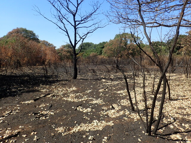
Image: © Marathon Taken: 12 Aug 2022
This was another baking hot day during the summer of 2022 when it had been the driest period since records began in 1836. Fires on open land were a regular occurrence. This is West Heath which is part of Bostall Heath.
Images are licensed for reuse under creativecommons.org/licenses/by-sa/2.0
Image Location
Latitude
51.477764
Longitude
0.123168