Shallie Brae
Introduction
The photograph on this page of Shallie Brae by Oliver Dixon as part of the Geograph project.
The Geograph project started in 2005 with the aim of publishing, organising and preserving representative images for every square kilometre of Great Britain, Ireland and the Isle of Man.

There are currently over 7.5m images from over 14,400 individuals and you can help contribute to the project by visiting https://www.geograph.org.uk
Shallie Brae
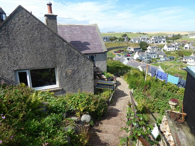
Image: © Oliver Dixon Taken: 8 Aug 2022
A steep path which improbably passes next to the bungalows down from the clifftop at the southern end of Collieston to the Harbour.
Images are licensed for reuse under creativecommons.org/licenses/by-sa/2.0
Image Location
Latitude
57.346361
Longitude
-1.936014