Sandy Lane North
Introduction
The photograph on this page of Sandy Lane North by David Quinn as part of the Geograph project.
The Geograph project started in 2005 with the aim of publishing, organising and preserving representative images for every square kilometre of Great Britain, Ireland and the Isle of Man.

There are currently over 7.5m images from over 14,400 individuals and you can help contribute to the project by visiting https://www.geograph.org.uk
Sandy Lane North
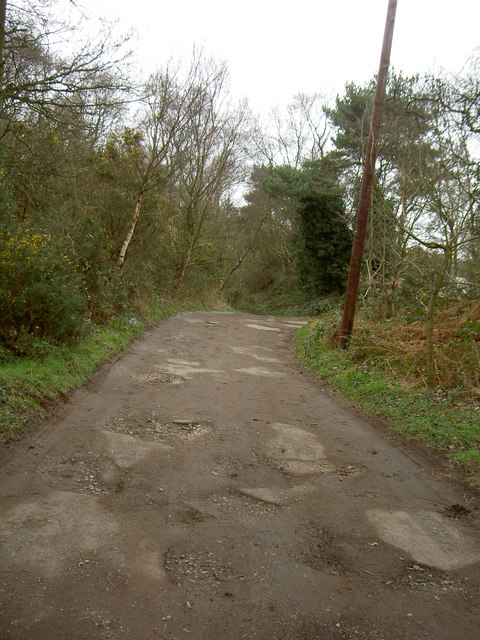
Image: © David Quinn Taken: 15 Mar 2008
The beginning of a public bridleway and a driveway for a small number of houses. Sandy Lane is thought to be an ancient highway, with local monks laying the stones. The bridleway continues straight ahead where the lane bends to the right.
Images are licensed for reuse under creativecommons.org/licenses/by-sa/2.0
Image Location
Latitude
53.363578
Longitude
-3.125348