Tadnoll area [1]
Introduction
The photograph on this page of Tadnoll area [1] by Michael Dibb as part of the Geograph project.
The Geograph project started in 2005 with the aim of publishing, organising and preserving representative images for every square kilometre of Great Britain, Ireland and the Isle of Man.

There are currently over 7.5m images from over 14,400 individuals and you can help contribute to the project by visiting https://www.geograph.org.uk
Tadnoll area [1]
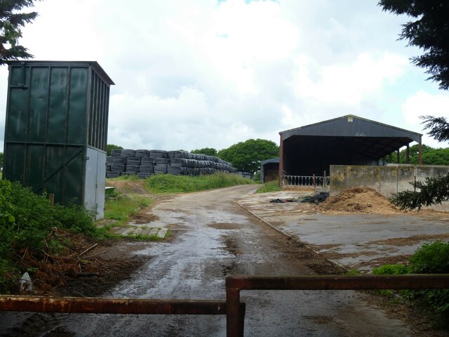
Image: © Michael Dibb Taken: 30 May 2022
Tadnoll Hill Farm, seen from Redbridge Road.
Images are licensed for reuse under creativecommons.org/licenses/by-sa/2.0
Image Location
Latitude
50.678946
Longitude
-2.298441