Safety Fencing at Dawk Hole
Introduction
The photograph on this page of Safety Fencing at Dawk Hole by Kevin Waterhouse as part of the Geograph project.
The Geograph project started in 2005 with the aim of publishing, organising and preserving representative images for every square kilometre of Great Britain, Ireland and the Isle of Man.

There are currently over 7.5m images from over 14,400 individuals and you can help contribute to the project by visiting https://www.geograph.org.uk
Safety Fencing at Dawk Hole
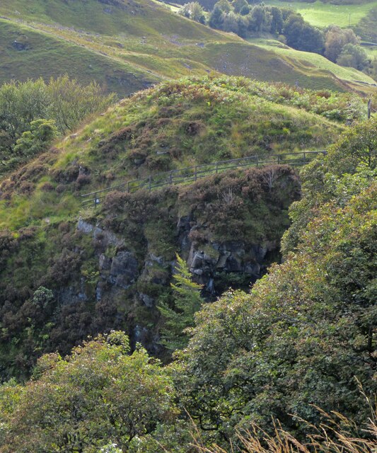
Image: © Kevin Waterhouse Taken: 29 Sep 2020
View across Dawk Hole to path climbing above virtual sheer face of Dawk Hole with old wooden fence for safety
Images are licensed for reuse under creativecommons.org/licenses/by-sa/2.0
Image Location
Latitude
53.734805
Longitude
-2.142609