Owermoigne village [14]
Introduction
The photograph on this page of Owermoigne village [14] by Michael Dibb as part of the Geograph project.
The Geograph project started in 2005 with the aim of publishing, organising and preserving representative images for every square kilometre of Great Britain, Ireland and the Isle of Man.

There are currently over 7.5m images from over 14,400 individuals and you can help contribute to the project by visiting https://www.geograph.org.uk
Owermoigne village [14]
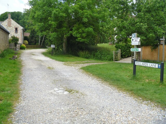
Image: © Michael Dibb Taken: 30 May 2022
Pollards Lane is a public footpath, part of the Hardy Way, and leads to the village hall and social club. Owermoigne is a small Dorset village adjacent to the A352 road, some 6 miles southeast of Dorchester. Originally a Saxon settlement by the name of Ogre that later became Oweres, and the ancient landholding family of Le Moigne came together to give the village its name. The village surrounds the church of St Michael and most working residents commute into Dorchester.
Images are licensed for reuse under creativecommons.org/licenses/by-sa/2.0
Image Location


Leaflet Map data © OpenStreetMap
Latitude
50.666992
Longitude
-2.329637