Public footpath along old railway, Crawley
Introduction
The photograph on this page of Public footpath along old railway, Crawley by Robin Webster as part of the Geograph project.
The Geograph project started in 2005 with the aim of publishing, organising and preserving representative images for every square kilometre of Great Britain, Ireland and the Isle of Man.

There are currently over 7.5m images from over 14,400 individuals and you can help contribute to the project by visiting https://www.geograph.org.uk
Public footpath along old railway, Crawley
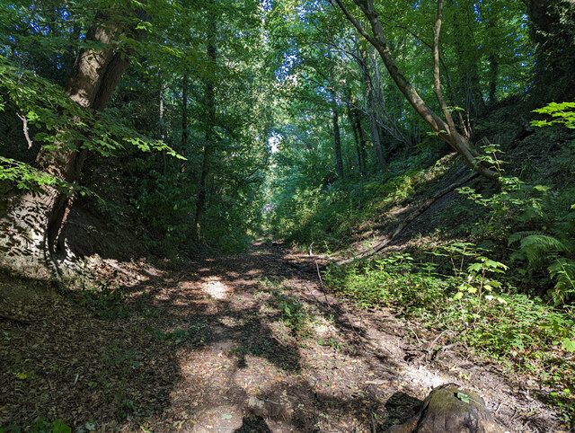
Image: © Robin Webster Taken: 10 Aug 2022
Footpath 104bW runs from Balcombe Road to the bridge carrying path 92W, along a cutting of the old Three Bridges - East Grinstead railway. There is no intermediate access, and unfortunately the western part between Church Road (no access) and Balcombe Road is in appalling condition. I chose a very dry time, as I knew it could get wet (it still was locally), but did not expect so many fallen trees at awkward heights. This part east of Church Road is reasonable.
Images are licensed for reuse under creativecommons.org/licenses/by-sa/2.0
Image Location


Leaflet Map data © OpenStreetMap
Latitude
51.11417
Longitude
-0.140719