Footpath signs, Fife Coastal Path
Introduction
The photograph on this page of Footpath signs, Fife Coastal Path by Jim Barton as part of the Geograph project.
The Geograph project started in 2005 with the aim of publishing, organising and preserving representative images for every square kilometre of Great Britain, Ireland and the Isle of Man.

There are currently over 7.5m images from over 14,400 individuals and you can help contribute to the project by visiting https://www.geograph.org.uk
Footpath signs, Fife Coastal Path
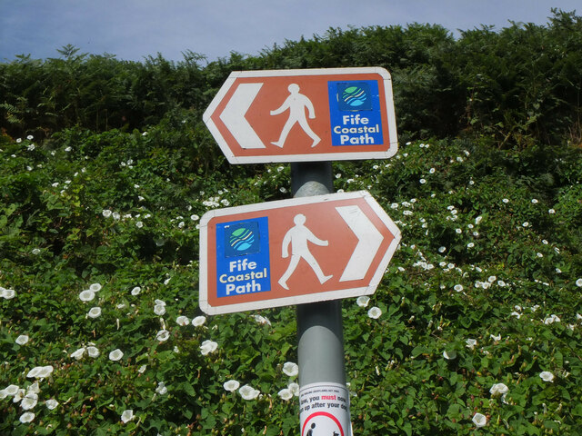
Image: © Jim Barton Taken: 9 Aug 2022
Signs at Pittenweem for the 183km path that links the Firths of Forth and Tay.
Images are licensed for reuse under creativecommons.org/licenses/by-sa/2.0
Image Location
Latitude
56.211994
Longitude
-2.735461