Football field, Ludworth
Introduction
The photograph on this page of Football field, Ludworth by David Hawgood as part of the Geograph project.
The Geograph project started in 2005 with the aim of publishing, organising and preserving representative images for every square kilometre of Great Britain, Ireland and the Isle of Man.

There are currently over 7.5m images from over 14,400 individuals and you can help contribute to the project by visiting https://www.geograph.org.uk
Football field, Ludworth
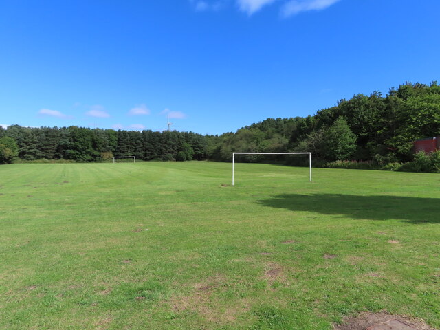
Image: © David Hawgood Taken: 7 Aug 2022
It is in the area of former miners' houses for Ludworth Colliery. The far goal posts are on the line of former Albert Street, the viewpoint is near former Coronation Street. The street names, all royal connections, are show on a 25 inch OS map published 1919, available on National Library of Scotland website https://maps.nls.uk/view/120936696#zoom=6&lat=9323&lon=4376&layers=BT.
Images are licensed for reuse under creativecommons.org/licenses/by-sa/2.0
Image Location
Latitude
54.767673
Longitude
-1.439657