Morrisons supermarket on route of former railway
Introduction
The photograph on this page of Morrisons supermarket on route of former railway by David Martin as part of the Geograph project.
The Geograph project started in 2005 with the aim of publishing, organising and preserving representative images for every square kilometre of Great Britain, Ireland and the Isle of Man.

There are currently over 7.5m images from over 14,400 individuals and you can help contribute to the project by visiting https://www.geograph.org.uk
Morrisons supermarket on route of former railway
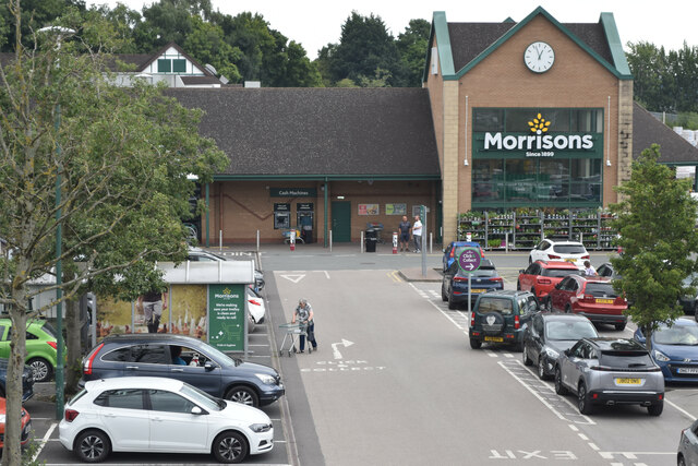
Image: © David Martin Taken: 6 Aug 2022
This is the view from the former railway bridge, which now serves the supermarket fuel station. The store has been built directly over the railway trackbed.
Images are licensed for reuse under creativecommons.org/licenses/by-sa/2.0
Image Location
Latitude
53.100115
Longitude
-2.032667