Chorley Street, Leek
Introduction
The photograph on this page of Chorley Street, Leek by David Martin as part of the Geograph project.
The Geograph project started in 2005 with the aim of publishing, organising and preserving representative images for every square kilometre of Great Britain, Ireland and the Isle of Man.

There are currently over 7.5m images from over 14,400 individuals and you can help contribute to the project by visiting https://www.geograph.org.uk
Chorley Street, Leek
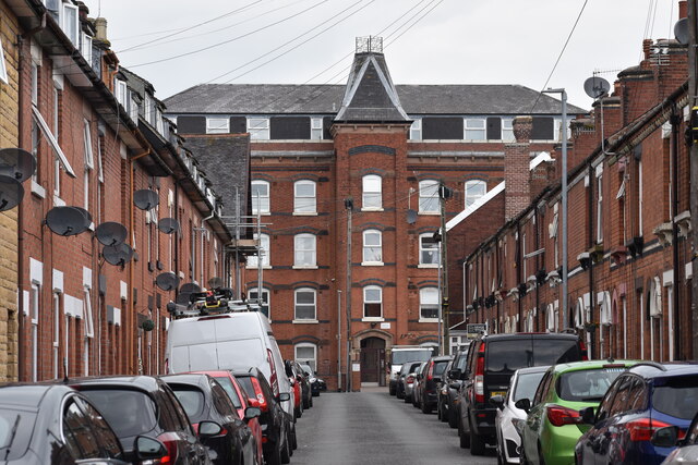
Image: © David Martin Taken: 6 Aug 2022
Terraced houses framing former mill building in Britannia Street, now converted to residential use.
Images are licensed for reuse under creativecommons.org/licenses/by-sa/2.0
Image Location
Latitude
53.105419
Longitude
-2.030132