Housing diversity (Cathcart Drive)
Introduction
The photograph on this page of Housing diversity (Cathcart Drive) by Ian Capper as part of the Geograph project.
The Geograph project started in 2005 with the aim of publishing, organising and preserving representative images for every square kilometre of Great Britain, Ireland and the Isle of Man.

There are currently over 7.5m images from over 14,400 individuals and you can help contribute to the project by visiting https://www.geograph.org.uk
Housing diversity (Cathcart Drive)
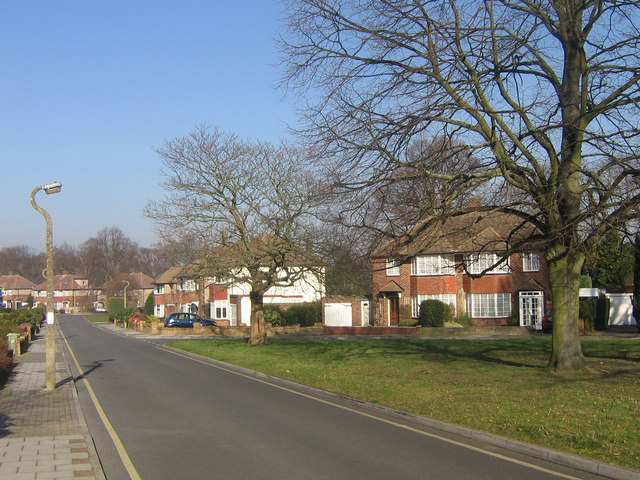
Image: © Ian Capper Taken: 12 Feb 2008
A series of photos showing the diversity of housing in one gridsquare in outer suburbia. For others in series see http://www.geograph.org.uk/search.php?i=1905481. Any further information, such as building dates and what was on the sites before building, would be appreciated. This is Cathcart Drive, built immediately post war close to the railway (the cutting for which is marked by the line of trees in the background). The shape of the site gave room for two pleasant triangular greens, of which this is one (see Image for the other).
Images are licensed for reuse under creativecommons.org/licenses/by-sa/2.0
Image Location
Latitude
51.374765
Longitude
0.084775