The Oaken Arms pub sign, Staffordshire
Introduction
The photograph on this page of The Oaken Arms pub sign, Staffordshire by Roger Kidd as part of the Geograph project.
The Geograph project started in 2005 with the aim of publishing, organising and preserving representative images for every square kilometre of Great Britain, Ireland and the Isle of Man.

There are currently over 7.5m images from over 14,400 individuals and you can help contribute to the project by visiting https://www.geograph.org.uk
The Oaken Arms pub sign, Staffordshire
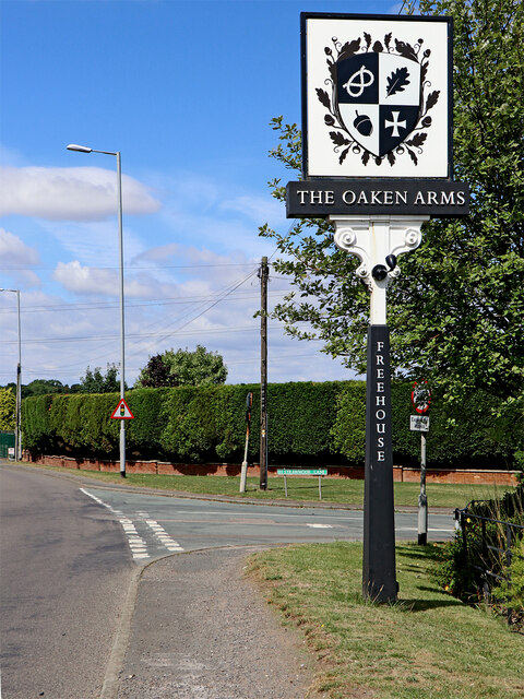
Image: © Roger Kidd Taken: 1 Aug 2022
Looking west towards Kingswood on the A41 Holyhead Road. Strawmoor Lane leads off to the right towards Codsall Wood. The Oaken Arms used to be called The Foaming Jug, and not everyone was pleased at the change of name, circa 2010.
Images are licensed for reuse under creativecommons.org/licenses/by-sa/2.0
Image Location
Latitude
52.620497
Longitude
-2.227729