Ringlestone
Introduction
The photograph on this page of Ringlestone by James Emmans as part of the Geograph project.
The Geograph project started in 2005 with the aim of publishing, organising and preserving representative images for every square kilometre of Great Britain, Ireland and the Isle of Man.

There are currently over 7.5m images from over 14,400 individuals and you can help contribute to the project by visiting https://www.geograph.org.uk
Ringlestone
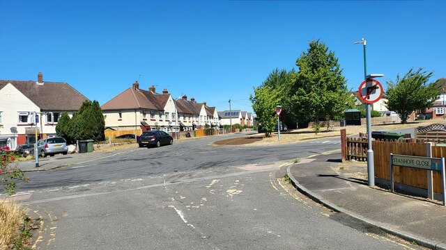
Image: © James Emmans Taken: 5 Aug 2022
A suburb of Maidstone the county town of Kent. Junction of Calder Road, Stanhope Close and Dicken's Road.
Images are licensed for reuse under creativecommons.org/licenses/by-sa/2.0
Image Location
Latitude
51.287407
Longitude
0.512511