Dunwich, High Street
Introduction
The photograph on this page of Dunwich, High Street by Mel Towler as part of the Geograph project.
The Geograph project started in 2005 with the aim of publishing, organising and preserving representative images for every square kilometre of Great Britain, Ireland and the Isle of Man.

There are currently over 7.5m images from over 14,400 individuals and you can help contribute to the project by visiting https://www.geograph.org.uk
Dunwich, High Street
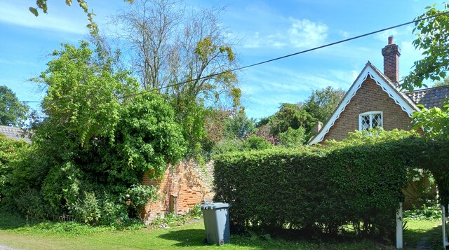
Image: © Mel Towler Taken: 2 Jul 2022
The OS Flush Bracket 016S is embedded into a brick wall which divides the Old Stables from No 6 High Street. This is on the south side of the road.
Images are licensed for reuse under creativecommons.org/licenses/by-sa/2.0
Image Location
Latitude
52.273057
Longitude
1.62538