Keelam Heights
Introduction
The photograph on this page of Keelam Heights by michael ely as part of the Geograph project.
The Geograph project started in 2005 with the aim of publishing, organising and preserving representative images for every square kilometre of Great Britain, Ireland and the Isle of Man.

There are currently over 7.5m images from over 14,400 individuals and you can help contribute to the project by visiting https://www.geograph.org.uk
Keelam Heights
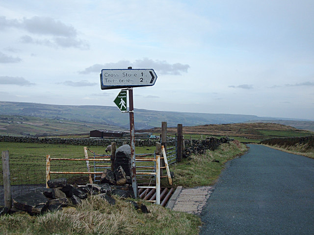
Image: © michael ely Taken: 14 Mar 2008
At the junction of Eastwood Road and Broad Lane looking east. A shot of the cattle grid looking north can be seen here Image
Images are licensed for reuse under creativecommons.org/licenses/by-sa/2.0
Image Location


Leaflet Map data © OpenStreetMap
Latitude
53.735311
Longitude
-2.082125