Church Lane, Cardington
Introduction
The photograph on this page of Church Lane, Cardington by Ian Capper as part of the Geograph project.
The Geograph project started in 2005 with the aim of publishing, organising and preserving representative images for every square kilometre of Great Britain, Ireland and the Isle of Man.

There are currently over 7.5m images from over 14,400 individuals and you can help contribute to the project by visiting https://www.geograph.org.uk
Church Lane, Cardington
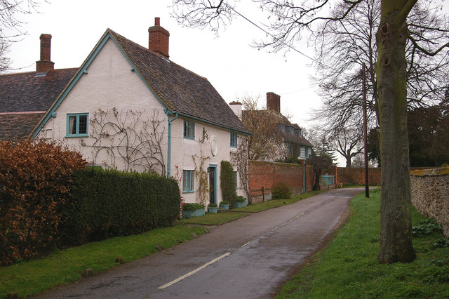
Image: © Ian Capper Taken: 13 Mar 2008
The near cottage has a plaque on the front dating it as 1762, restored in 1928. The house in the background is Howards House, with a date plaque of 1642. It was the home of John Howard, the prison reformer, from 1760 to 1790.
Images are licensed for reuse under creativecommons.org/licenses/by-sa/2.0
Image Location
Latitude
52.11948
Longitude
-0.415261