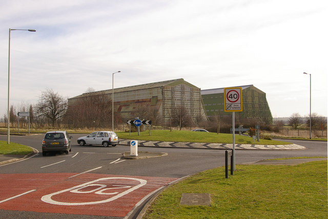
Roundabout on A600 at Shortstown
Introduction
The photograph on this page of Roundabout on A600 at Shortstown by Ian Capper as part of the Geograph project.
The Geograph project started in 2005 with the aim of publishing, organising and preserving representative images for every square kilometre of Great Britain, Ireland and the Isle of Man.
There are currently over 7.5m images from over 14,400 individuals and you can help contribute to the project by visiting https://www.geograph.org.uk

Image: © Ian Capper Taken: 13 Mar 2008
This roundabout gives access to the southern end of Shortstown and was funded for as part of recent expansion of the original village west of the A600. More significant expansion is planned for the old airfield site to the east, and the original intention was that this would be the start of a relief road round the village. However, latest plans approved by the Office of the Deputy Prime Minister, overriding local preferences, would see a widened A600 cutting through the middle of the expanded village. In the background are the two Grade II* airship sheds, built in 1918 and 1926 and a dominant feature of the landscape south of Bedford.

