Malpas, Cheshire
Introduction
The photograph on this page of Malpas, Cheshire by BrianPritchard as part of the Geograph project.
The Geograph project started in 2005 with the aim of publishing, organising and preserving representative images for every square kilometre of Great Britain, Ireland and the Isle of Man.

There are currently over 7.5m images from over 14,400 individuals and you can help contribute to the project by visiting https://www.geograph.org.uk
Malpas, Cheshire
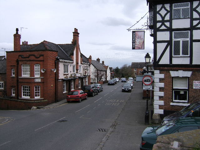
Image: © BrianPritchard Taken: 13 Mar 2008
The Roman Road [Old Hall Street] to Whitchurch, with the road to No Mans Heath & Nantwich to the left. You can see The Red Lion Hotel on the left and The Crown to the right.Image
Images are licensed for reuse under creativecommons.org/licenses/by-sa/2.0
Image Location
Latitude
53.019633
Longitude
-2.765