Old Slab Bridge on River Roch
Introduction
The photograph on this page of Old Slab Bridge on River Roch by Kevin Waterhouse as part of the Geograph project.
The Geograph project started in 2005 with the aim of publishing, organising and preserving representative images for every square kilometre of Great Britain, Ireland and the Isle of Man.

There are currently over 7.5m images from over 14,400 individuals and you can help contribute to the project by visiting https://www.geograph.org.uk
Old Slab Bridge on River Roch
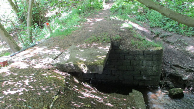
Image: © Kevin Waterhouse Taken: 21 May 2020
This old bridge now has a new Environment Agency bridge built above it as their access point to a flood defence scheme
Images are licensed for reuse under creativecommons.org/licenses/by-sa/2.0
Image Location
Latitude
53.653876
Longitude
-2.086354