White Mill and surroundings [9]
Introduction
The photograph on this page of White Mill and surroundings [9] by Michael Dibb as part of the Geograph project.
The Geograph project started in 2005 with the aim of publishing, organising and preserving representative images for every square kilometre of Great Britain, Ireland and the Isle of Man.

There are currently over 7.5m images from over 14,400 individuals and you can help contribute to the project by visiting https://www.geograph.org.uk
White Mill and surroundings [9]
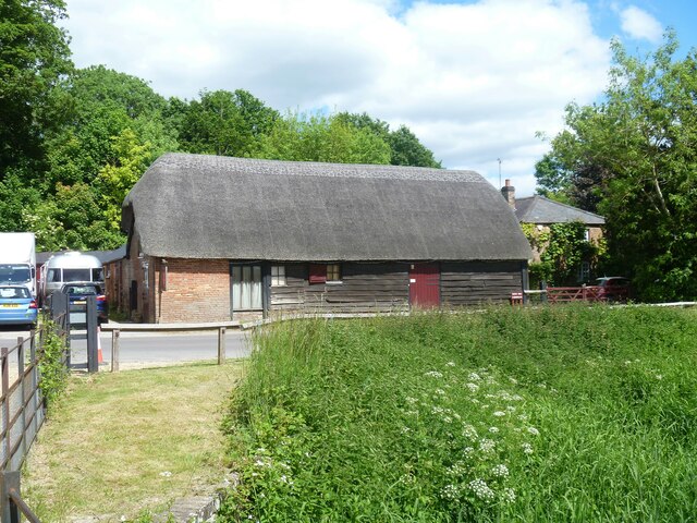
Image: © Michael Dibb Taken: 28 May 2022
This barn opposite White Mill is probably 18th century. Timber framed and weatherboarded on a brick base, under a thatch roof. Listed, for group value, grade II, with details at: https://historicengland.org.uk/listing/the-list/list-entry/1323472 White Mill is a restored 18th century mill on the banks of the River Stour at Sturminster Marshall in Dorset, some 3½ miles west of Wimborne Minster.
Images are licensed for reuse under creativecommons.org/licenses/by-sa/2.0
Image Location
Latitude
50.805084
Longitude
-2.06073