Fields near Milden looking towards Wyncolls Hall Farm
Introduction
The photograph on this page of Fields near Milden looking towards Wyncolls Hall Farm by Andrew Hill as part of the Geograph project.
The Geograph project started in 2005 with the aim of publishing, organising and preserving representative images for every square kilometre of Great Britain, Ireland and the Isle of Man.

There are currently over 7.5m images from over 14,400 individuals and you can help contribute to the project by visiting https://www.geograph.org.uk
Fields near Milden looking towards Wyncolls Hall Farm
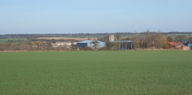
Image: © Andrew Hill Taken: 14 Mar 2008
The tower of Monks Eleigh church can be seen above the farm buildings.
Images are licensed for reuse under creativecommons.org/licenses/by-sa/2.0
Image Location
Latitude
52.085043
Longitude
0.862028