Old Shalesbrook, Shalesbrook Lane
Introduction
The photograph on this page of Old Shalesbrook, Shalesbrook Lane by Simon Carey as part of the Geograph project.
The Geograph project started in 2005 with the aim of publishing, organising and preserving representative images for every square kilometre of Great Britain, Ireland and the Isle of Man.

There are currently over 7.5m images from over 14,400 individuals and you can help contribute to the project by visiting https://www.geograph.org.uk
Old Shalesbrook, Shalesbrook Lane
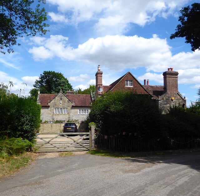
Image: © Simon Carey Taken: 4 Aug 2022
Built in the latter half of the 19th century. marked as Whites Farm on East Grinstead's 1841 tithe map which had become Shalesbrook by the time of the 1873 OS survey.
Images are licensed for reuse under creativecommons.org/licenses/by-sa/2.0
Image Location
Latitude
51.0903
Longitude
0.04468