Balwearie Roundabout, Kirkcaldy
Introduction
The photograph on this page of Balwearie Roundabout, Kirkcaldy by Ian Thomson as part of the Geograph project.
The Geograph project started in 2005 with the aim of publishing, organising and preserving representative images for every square kilometre of Great Britain, Ireland and the Isle of Man.

There are currently over 7.5m images from over 14,400 individuals and you can help contribute to the project by visiting https://www.geograph.org.uk
Balwearie Roundabout, Kirkcaldy
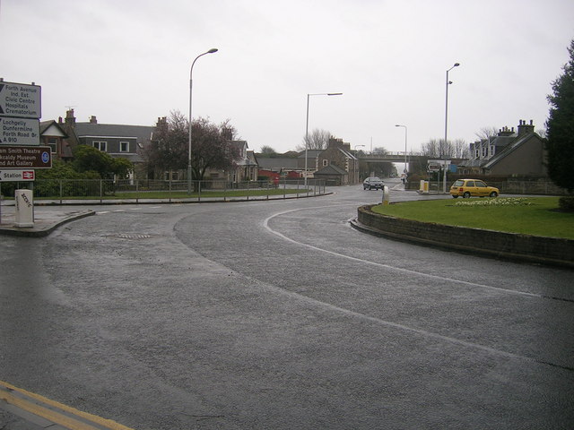
Image: © Ian Thomson Taken: 10 Mar 2008
This is Balwearie Roundabout, near Kirkcaldy town centre. There are four exits off this roundabout: Nicol Street (A910) (this will lead you down to the promenade) to the north; Abbotshall Road (leading to Balwearie Road, next right turnoff and Balwearie High School) to the north east; Bogily Road (B925) (leading to Southerton and Autchertool) to the south east and Abbotshall Road (leading to Forth avenue and Kirkcaldy Railway Station on the right at the next roundabout) to the south
Images are licensed for reuse under creativecommons.org/licenses/by-sa/2.0
Image Location
Latitude
56.107558
Longitude
-3.170494