Sabrina Way
Introduction
The photograph on this page of Sabrina Way by Derek Harper as part of the Geograph project.
The Geograph project started in 2005 with the aim of publishing, organising and preserving representative images for every square kilometre of Great Britain, Ireland and the Isle of Man.

There are currently over 7.5m images from over 14,400 individuals and you can help contribute to the project by visiting https://www.geograph.org.uk
Sabrina Way
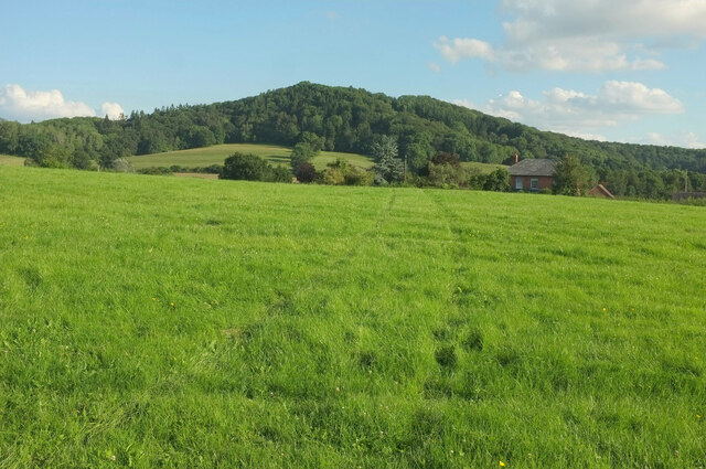
Image: © Derek Harper Taken: 13 Jul 2021
Following Cradley bridleway CD43 across the field shown in Image], with Vinesend House right of centre and High Grove Wood rising in the background.
Images are licensed for reuse under creativecommons.org/licenses/by-sa/2.0
Image Location
Latitude
52.126215
Longitude
-2.370832