Waterloo Farm
Introduction
The photograph on this page of Waterloo Farm by Robin Hall as part of the Geograph project.
The Geograph project started in 2005 with the aim of publishing, organising and preserving representative images for every square kilometre of Great Britain, Ireland and the Isle of Man.

There are currently over 7.5m images from over 14,400 individuals and you can help contribute to the project by visiting https://www.geograph.org.uk
Waterloo Farm
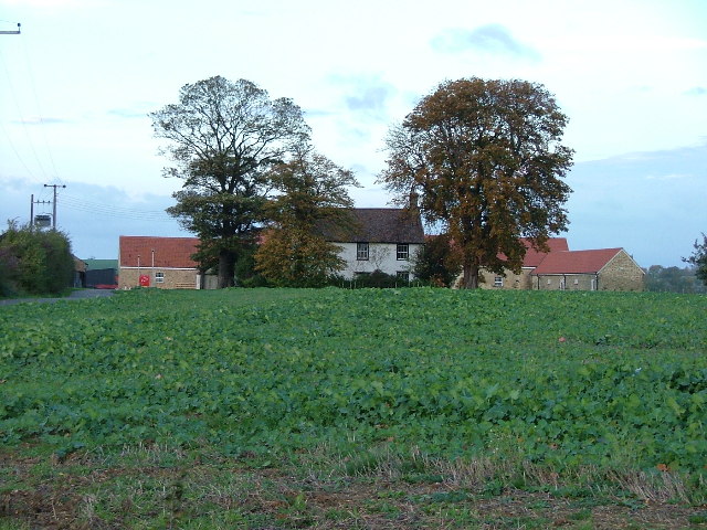
Image: © Robin Hall Taken: 30 Oct 2005
New building can be seen to both sides of the old farm building. The property is now protected by large gates and is being developed as residential units.
Images are licensed for reuse under creativecommons.org/licenses/by-sa/2.0
Image Location
Latitude
52.024724
Longitude
-0.250993