Priestland Road
Introduction
The photograph on this page of Priestland Road by Malcolm Neal as part of the Geograph project.
The Geograph project started in 2005 with the aim of publishing, organising and preserving representative images for every square kilometre of Great Britain, Ireland and the Isle of Man.

There are currently over 7.5m images from over 14,400 individuals and you can help contribute to the project by visiting https://www.geograph.org.uk
Priestland Road
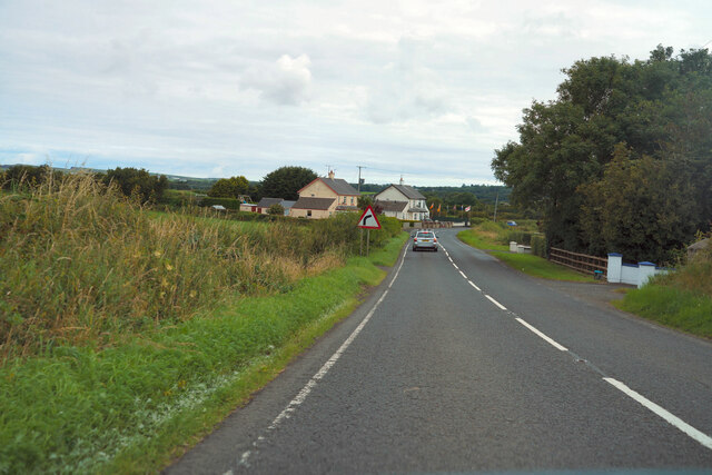
Image: © Malcolm Neal Taken: 27 Jul 2022
Still quite rural but we are very close to the village of Bushmills at this point.
Images are licensed for reuse under creativecommons.org/licenses/by-sa/2.0
Image Location
Latitude
55.194984
Longitude
-6.538203