Burwell: Isaacson Road
Introduction
The photograph on this page of Burwell: Isaacson Road by John Sutton as part of the Geograph project.
The Geograph project started in 2005 with the aim of publishing, organising and preserving representative images for every square kilometre of Great Britain, Ireland and the Isle of Man.

There are currently over 7.5m images from over 14,400 individuals and you can help contribute to the project by visiting https://www.geograph.org.uk
Burwell: Isaacson Road
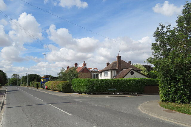
Image: © John Sutton Taken: 4 Aug 2022
A suburban-looking part of a large village on the edge of the Cambridgeshire Fens. Copperfield Way is on the right.
Images are licensed for reuse under creativecommons.org/licenses/by-sa/2.0
Image Location
Latitude
52.270689
Longitude
0.333813