Footbridge at Ellers
Introduction
The photograph on this page of Footbridge at Ellers by Gordon Hatton as part of the Geograph project.
The Geograph project started in 2005 with the aim of publishing, organising and preserving representative images for every square kilometre of Great Britain, Ireland and the Isle of Man.

There are currently over 7.5m images from over 14,400 individuals and you can help contribute to the project by visiting https://www.geograph.org.uk
Footbridge at Ellers
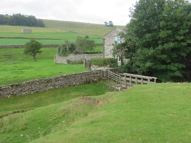
Image: © Gordon Hatton Taken: 3 Aug 2022
Much used bridge over Ellers Beck on the Coast to Coast route. The beck here marks the boundary between Marske and Marrick parishes.
Images are licensed for reuse under creativecommons.org/licenses/by-sa/2.0
Image Location
Latitude
54.388932
Longitude
-1.867226