East Street, St Combs
Introduction
The photograph on this page of East Street, St Combs by Bill Harrison as part of the Geograph project.
The Geograph project started in 2005 with the aim of publishing, organising and preserving representative images for every square kilometre of Great Britain, Ireland and the Isle of Man.

There are currently over 7.5m images from over 14,400 individuals and you can help contribute to the project by visiting https://www.geograph.org.uk
East Street, St Combs
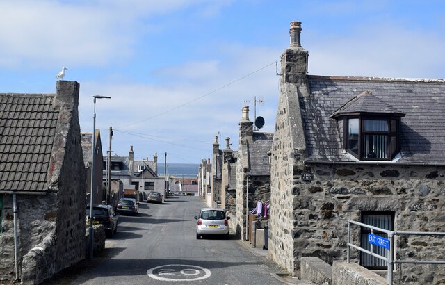
Image: © Bill Harrison Taken: 5 Jun 2022
St Combs was set out as a planned fishing village in the late 18th Century on an approximate grid pattern, with the main streets running north-south and gable ends facing the street. The fishing fleet is long gone and the village now houses commuters.
Images are licensed for reuse under creativecommons.org/licenses/by-sa/2.0
Image Location
Latitude
57.657947
Longitude
-1.908321