Waterside Apartments and traffic at Trent Bridge
Introduction
The photograph on this page of Waterside Apartments and traffic at Trent Bridge by John Sutton as part of the Geograph project.
The Geograph project started in 2005 with the aim of publishing, organising and preserving representative images for every square kilometre of Great Britain, Ireland and the Isle of Man.

There are currently over 7.5m images from over 14,400 individuals and you can help contribute to the project by visiting https://www.geograph.org.uk
Waterside Apartments and traffic at Trent Bridge
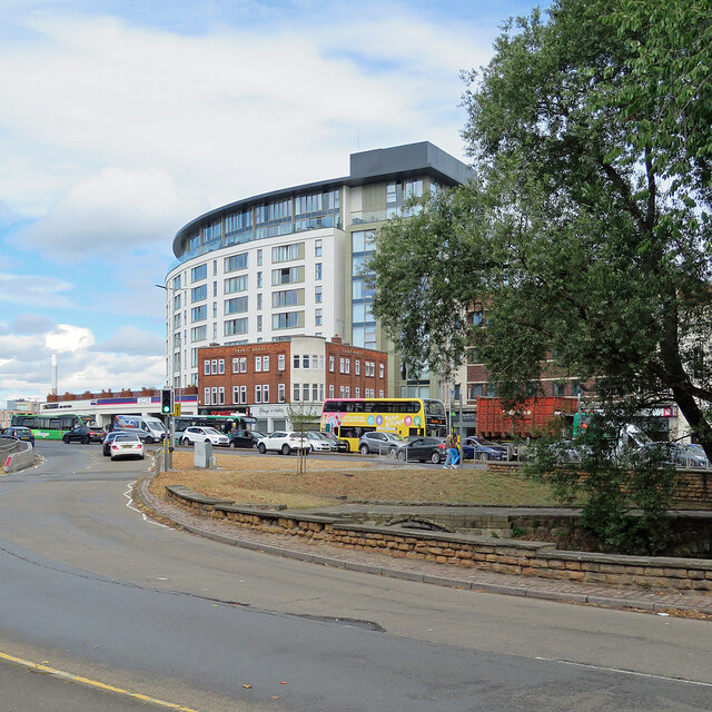
Image: © John Sutton Taken: 2 Aug 2022
Looking across part of the complicated junction of London Road and Radcliffe Road towards the Waterside Apartments, originally an hotel and for many years the headquarters of Rushcliffe District Council. A small section of the mediaeval Trent Bridge (the current one is Victorian and the river was wider in the Middle Ages) sits in the traffic island in the foreground.
Images are licensed for reuse under creativecommons.org/licenses/by-sa/2.0
Image Location
Latitude
52.937957
Longitude
-1.135178