Ladock - The lane to Probus
Introduction
The photograph on this page of Ladock - The lane to Probus by Rob Farrow as part of the Geograph project.
The Geograph project started in 2005 with the aim of publishing, organising and preserving representative images for every square kilometre of Great Britain, Ireland and the Isle of Man.

There are currently over 7.5m images from over 14,400 individuals and you can help contribute to the project by visiting https://www.geograph.org.uk
Ladock - The lane to Probus
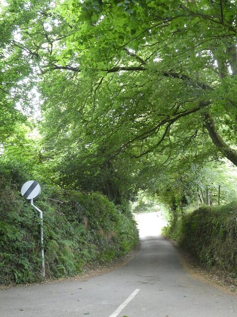
Image: © Rob Farrow Taken: 30 Jul 2022
This little lane branches off southwards from the lane which runs to the south of Ladock. It wiggles its way to the village of Probus via various hamlets and farms.
Images are licensed for reuse under creativecommons.org/licenses/by-sa/2.0
Image Location
Latitude
50.318578
Longitude
-4.957581