Trentside: from Forest to County
Introduction
The photograph on this page of Trentside: from Forest to County by John Sutton as part of the Geograph project.
The Geograph project started in 2005 with the aim of publishing, organising and preserving representative images for every square kilometre of Great Britain, Ireland and the Isle of Man.

There are currently over 7.5m images from over 14,400 individuals and you can help contribute to the project by visiting https://www.geograph.org.uk
Trentside: from Forest to County
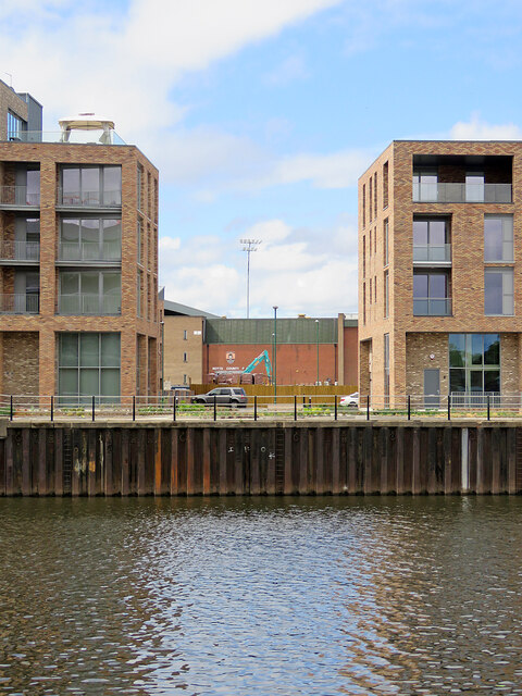
Image: © John Sutton Taken: 2 Aug 2022
A view across the River Trent from outside the Trent End and Brian Clough Stands of Nottingham Forest's City Ground. In the distance, framed by two of the blocks of the new Trent Bridge Quays development, is part of Notts County's Meadow Lane ground and one of the floodlights.
Images are licensed for reuse under creativecommons.org/licenses/by-sa/2.0
Image Location
Latitude
52.941191
Longitude
-1.134816