Sydling St Nicholas ford
Introduction
The photograph on this page of Sydling St Nicholas ford by Nigel Mykura as part of the Geograph project.
The Geograph project started in 2005 with the aim of publishing, organising and preserving representative images for every square kilometre of Great Britain, Ireland and the Isle of Man.

There are currently over 7.5m images from over 14,400 individuals and you can help contribute to the project by visiting https://www.geograph.org.uk
Sydling St Nicholas ford
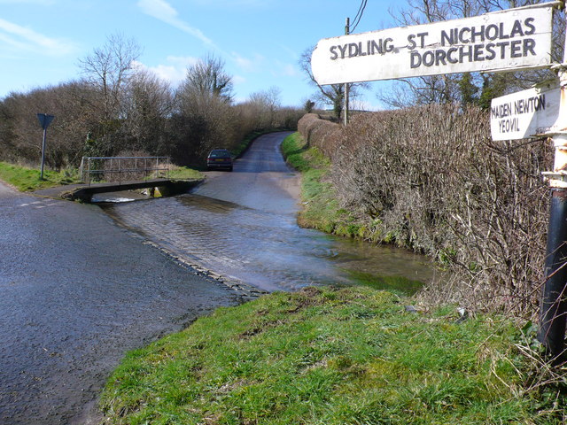
Image: © Nigel Mykura Taken: 7 Mar 2008
After fording the Sydling Water the road from Cerne Abbas heads uphill to where it meets the A37 Dorchester to Yeovil road
Images are licensed for reuse under creativecommons.org/licenses/by-sa/2.0
Image Location
Latitude
50.800737
Longitude
-2.520442