Longhorsley Fundamental Benchmark
Introduction
The photograph on this page of Longhorsley Fundamental Benchmark by Adrian Taylor as part of the Geograph project.
The Geograph project started in 2005 with the aim of publishing, organising and preserving representative images for every square kilometre of Great Britain, Ireland and the Isle of Man.

There are currently over 7.5m images from over 14,400 individuals and you can help contribute to the project by visiting https://www.geograph.org.uk
Longhorsley Fundamental Benchmark
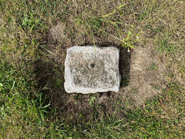
Image: © Adrian Taylor Taken: 29 Jul 2022
On the village green in Longhorsley, Longhorsley Fundamental Benchmark is marked by a brass bolt set in an irregular granite block at ground level (location photograph Image). It was levelled in 1918 and marks a height of 124.0106m above Ordnance Datum Newlyn. It is in use as an Ordnance Survey passive GPS station.
Images are licensed for reuse under creativecommons.org/licenses/by-sa/2.0
Image Location
Latitude
55.245065
Longitude
-1.772588