Mussenden Road
Introduction
The photograph on this page of Mussenden Road by Malcolm Neal as part of the Geograph project.
The Geograph project started in 2005 with the aim of publishing, organising and preserving representative images for every square kilometre of Great Britain, Ireland and the Isle of Man.

There are currently over 7.5m images from over 14,400 individuals and you can help contribute to the project by visiting https://www.geograph.org.uk
Mussenden Road
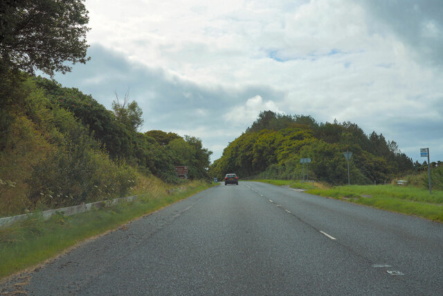
Image: © Malcolm Neal Taken: 27 Jul 2022
The Mussenden Road at this point is close by the walled garden of Downhill House. The temple also of the same name is not visible at this place on the road.
Images are licensed for reuse under creativecommons.org/licenses/by-sa/2.0
Image Location
Latitude
55.162682
Longitude
-6.814604