Woking Station
Introduction
The photograph on this page of Woking Station by Ian Capper as part of the Geograph project.
The Geograph project started in 2005 with the aim of publishing, organising and preserving representative images for every square kilometre of Great Britain, Ireland and the Isle of Man.

There are currently over 7.5m images from over 14,400 individuals and you can help contribute to the project by visiting https://www.geograph.org.uk
Woking Station
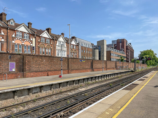
Image: © Ian Capper Taken: 17 Jun 2022
Looking across to platform 1 at Woking Station. Beyond the wall on the left is the late 19th Century parade of shops on The Broadway, with The Cornerstone (a 1970s office block, converted to housing in 2022) and Dukes Court (a 1986 office development) on the right of the photo.
Images are licensed for reuse under creativecommons.org/licenses/by-sa/2.0
Image Location
Latitude
51.319633
Longitude
-0.555172