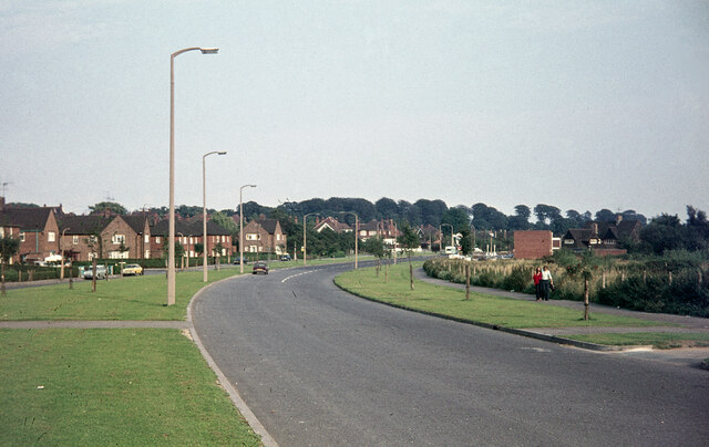
Wollaton Vale
Introduction
The photograph on this page of Wollaton Vale by Stephen McKay as part of the Geograph project.
The Geograph project started in 2005 with the aim of publishing, organising and preserving representative images for every square kilometre of Great Britain, Ireland and the Isle of Man.
There are currently over 7.5m images from over 14,400 individuals and you can help contribute to the project by visiting https://www.geograph.org.uk

Image: © Stephen McKay Taken: Unknown
Inevitably in the intervening half century there have been many changes to this scene where Wollaton Vale approaches its junction with Bramcote Lane. Mature trees now occupy the grassed area on the left but more important changes have taken place on the right. A row of two storey flats was built shortly after this photograph was taken and beyond that there is now a health centre. The petrol station has survived but has been completely rebuilt, now incorporating an M&S Simply Food outlet.

